
PAS 128

A Quick Guide to PAS 128 Survey Types
PAS 128 is a British Standard for detecting, verifying, and mapping underground utilities, ensuring accuracy and consistency in utility surveys. Updated in 2022, it helps reduce project risks, prevent costly mistakes, and improve planning efficiency.
Why Are PAS 128 Surveys Important?
- Accurate Utility Mapping: Identifies underground networks like electricity, sewers, and telecoms.
- Minimised Risk: Reduces delays and damage during construction.
- Growing Demand: Increasingly specified by engineers and designers.
The Four PAS 128 Survey Types
- Type D: Desktop Utility Records Search
- What it is: Offsite research into known utility records.
- Purpose: Provides a preliminary overview of utility ownership.
- Type C: Site Reconnaissance
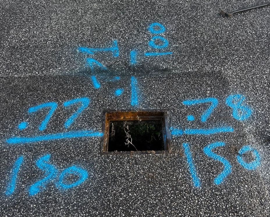
- What it is: Combines a desktop search with a site visit to verify records against visible features.
- Outcome: Findings are presented in an annotated plan or report.
- Type B: On-Site Utility Detection
- What it is: The most common survey, involving on-site detection using Electromagnetic Location (EML) and Ground Penetrating Radar (GPR).
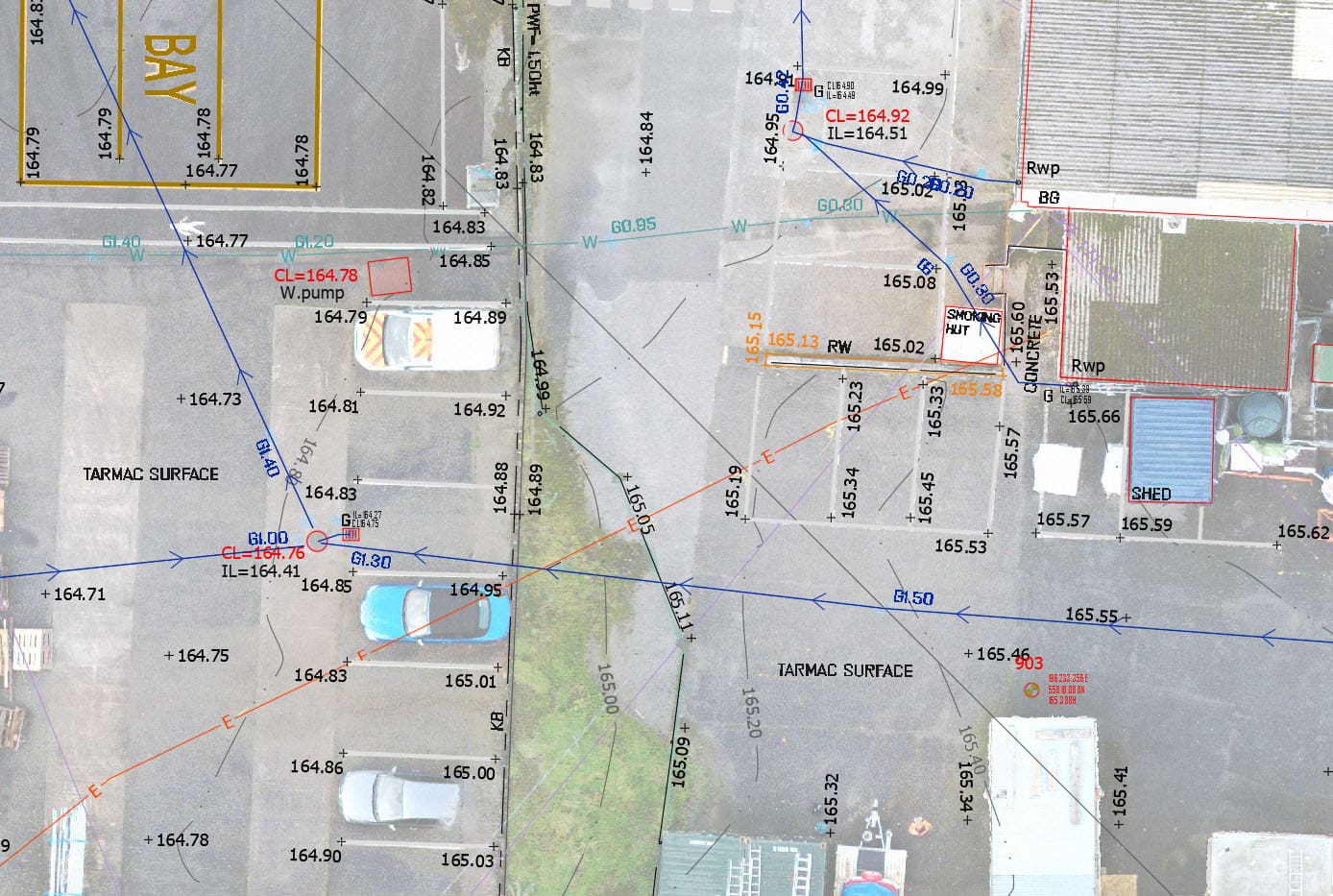
- Outcome: Detailed maps of underground utilities for construction projects.
- Type A: Verification by Excavation
- What it is: Combines data from earlier types with targeted excavation to confirm utility positions.
- Outcome: Provides 100% certainty of utility locations.
Key Considerations
- Accuracy Factors: Surveyor expertise, equipment quality, and ground conditions can affect results.
- Topographical Surveys: Essential for interpreting PAS 128 data within the site layout.
PAS 128 surveys have become the industry standard, even though they are not mandatory, providing clarity and confidence for projects of any size. For guidance on selecting the right survey type or for a tailored quote, Prime Utilities is ready to assist, offering nationwide coverage and prompt turnaround times.